Select County
Select Town
Limited parking in the village, please always park sensibly and respectful of the local residents.
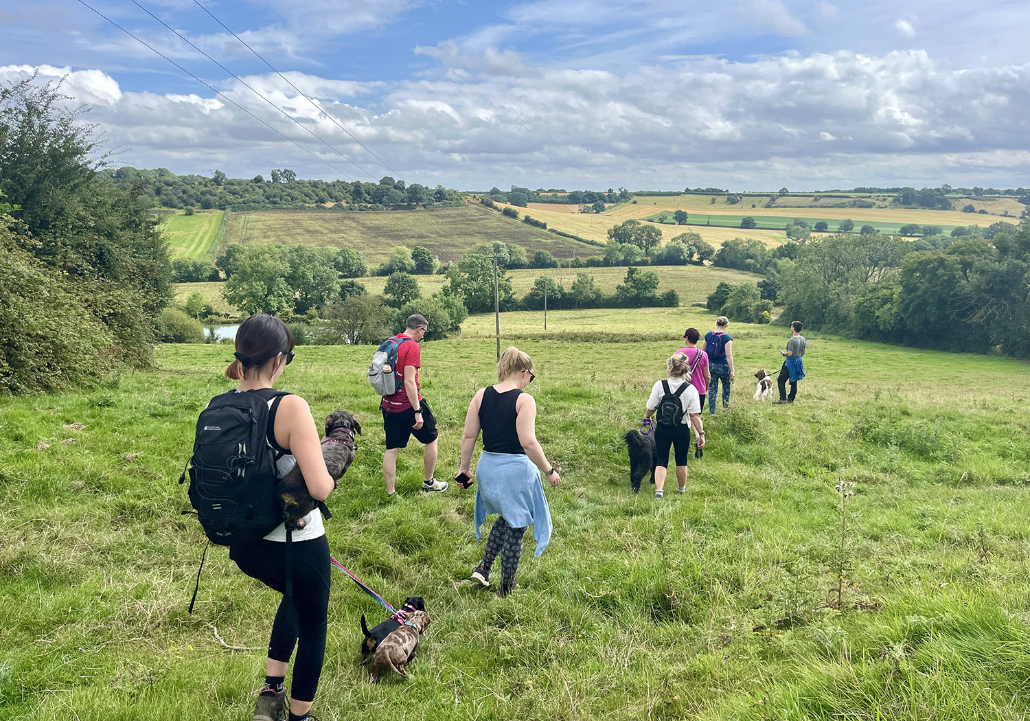
A mixture of steep slopes, woodland, open fields, cute country villages, and 3 fabulous pubs. A few stiles on the route but all seemed to be very well kept.
Through the woodland section between Hornton and Ratley there is a little stream.
Yes, but only in the villages.
A mixture of steep slopes, woodland, open fields, cute country villages, and 3 fabulous pubs. A few stiles on the route but all seemed to be very well kept. Local Features: There are two campsites you can use to access this walk, one is Mount Farm Park in Ratley www.mountfarmpark.co.uk, lovely views from this site and within walking Distance of the village pub (The Rose and Crown). The other is Fir Tree Farm Campsite which is close to Warmington www.firtreefarmcaravanpark.co.uk again within walking distance of two pubs (The Plough in the village and The Falcon on the outskirts). Also within walking distance of this camp site there is a wonderful farm shop called Carpenters which do the best burgers in the area. You can also walk up to The National Herb Centre (if you wanted a small walk there have a look at Chester the Cockapoos account here - they have a small nature loop on site there and a cafe).
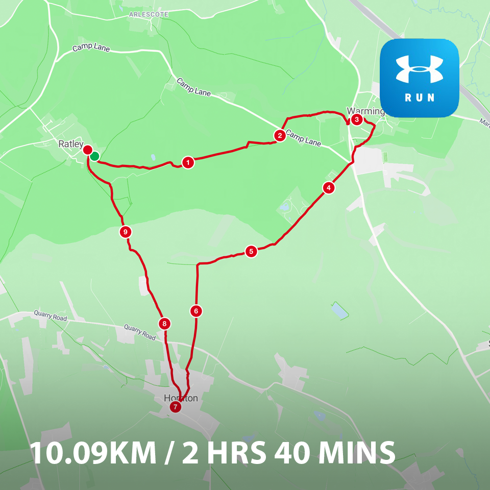
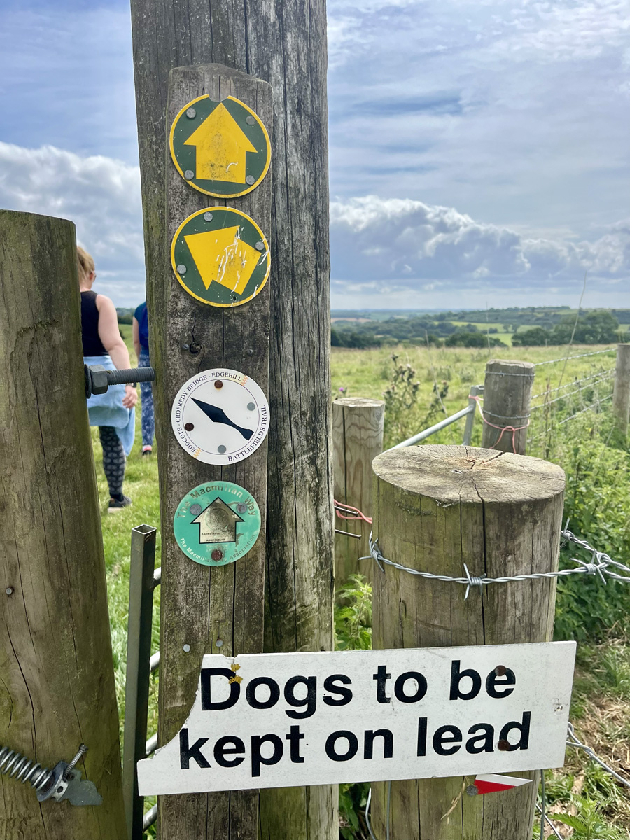
This really is is our kind of walk (we've been slightly delayed getting it uploaded due to the Rose and Crown being shut for some time), we camp up at one of the sites above, and do a 10km circular walk (although the finished map is more like a wonky triangle) which takes us over fields etc to three country pubs, The Rose and Crown, The Plough and The Dun Cow. All super dog friendly with pub gardens. There is hardly any road on this route, and plenty of open fields and well marked out footpaths. Also covers part of the D'Arcy Dalton Way, The Macmillan Way and the Edgehill/Cropredy Battlefieds Trail if you are intending to mark off any of those routes.